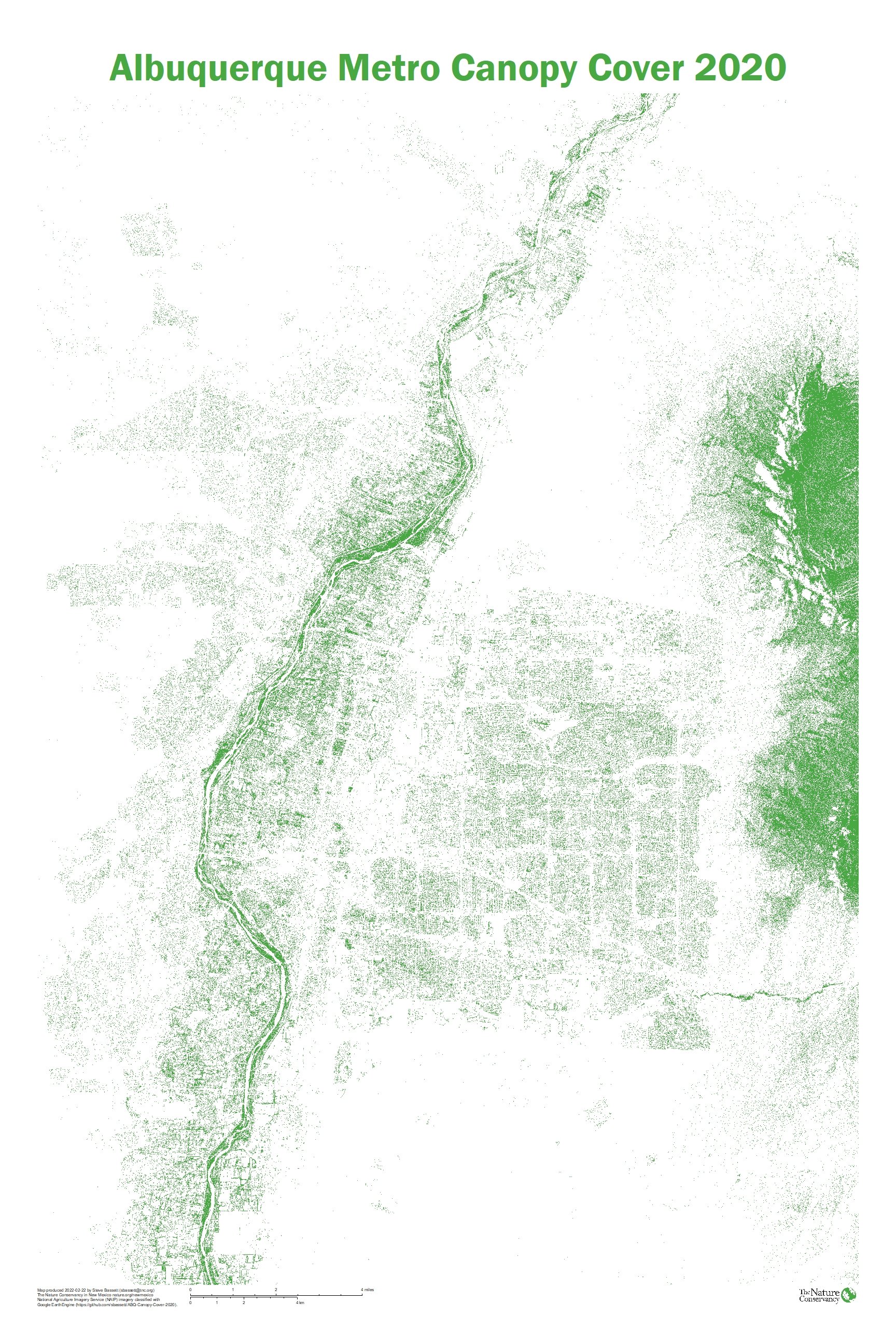

New high-resolution canopy cover data are available for the Albuquerque metro area. Developed from National Agriculture Imagery Program (NAIP) imagery, the 0.6-meter resolution canopy map provides the clearest picture yet of the extent and distribution of Albuquerque’s urban forest resource during the summer of 2020. The data have an overall accuracy of 93%.
Data area downloadable as 0.6-meter and 30-meter grids here: https://tnc.box.com/s/8r4tkrrdi7d9vgwjd6oj3ad88z40iyr3
The code used to produce the new canopy cover data are available here: https://github.com/sbassett/ABQ-Canopy-Cover-2020
A poster-sized map of these new data is also downloadable here: https://tnc.box.com/s/b2hftlgt78wapp91y8a82wfnv2mwuyy0
This analysis was presented at the 2022 Land and Water Summit on March 3rd 2022. The presentation is available here: https://tnc.box.com/s/aq4d1erwxh10ywl90l365xa4sdt4c79p